How Succorfish is Delivering Reliable VMS Across 70 Vessels
Succorfish partnered with a Norwegain fleet provider to deliver reliable vessel monitoring across a fleet of up to 70 fishing vessels operating in inshore and offshore waters. The deployment of the Succorfish SC2 vessel monitoring solution has improved fleet visibility, regulatory compliance, and operational oversight across some of the world’s most demanding fishing environments.
Norway has one of Europe’s most advanced fishing industries, with vessels operating across the North Sea, Norwegian Sea, and Barents Sea. These regions are highly productive but also characterised by harsh weather, freezing temperatures, heavy seas, and remote offshore operations. Many vessels operate beyond reliable cellular coverage, making robust vessel tracking and communications essential.
A Norwegian fleet solutions provider, established in 1998 and with over 25 years of experience, supplies communication and system solutions for the maritime, offshore, and fisheries sectors. The company focuses on compact, high-reliability system solutions designed for stability and uptime in demanding environments, alongside full end-to-end customer support, an approach that has made it a trusted, long-standing name in Norwegian fleet communications.
Seeking a dependable vessel monitoring solution for its fishing fleet customers, this Norwegian fleet provider partnered with Succorfish to enable long-term tracking, compliance, and operational oversight.
The Challenge: Remote Offshore Connectivity
Fishing operations in Norway face a demanding combination of environmental and regulatory pressures.
Harsh and unpredictable weather. Vessels operating in the North Sea, Norwegian Sea, and Barents Sea contend with the clash of cold Arctic air and warmer, moisture-laden Atlantic air, producing unpredictable conditions that can shift from calm seas to gale-force winds with little warning. Winter months bring an added hazard in the form of polar lows, intense, fast-forming low-pressure systems that can escalate from calm to storm-force winds within minutes, occurring on average 12 to 15 times per season between October and May. Further north and in winter, vessels also face icing risk near the ice edge, alongside limited daylight hours and reduced access to emergency support in the more remote fishing grounds.
Remote offshore operating areas. Much of Norway’s most productive fishing grounds lie far from port and outside easy reach of search and rescue services. Vessels working the North Sea, Norwegian Sea, and Barents Sea can be many hours, and in the Barents Sea, sometimes days, from the nearest harbour or coastguard response. If equipment fails, a crew member is injured, or a vessel runs into difficulty, help takes considerably longer to arrive than it would closer to shore. This isolation raises the stakes of any operational issue and makes accurate, continuous vessel tracking essential, so operators know a vessel’s position if contact is lost, and so emergency services can be directed to the right location without delay.
Limited LTE Cat 1 BIS cellular coverage in key fishing grounds. Standard LTE Cat 1 BIS cellular coverage is shore-based and only extends a limited distance offshore, further reduced by Norway’s fjord-heavy, mountainous coastline, which blocks signal propagation. Vessels fishing the North Sea, Norwegian Sea, and Barents Sea routinely operate well beyond this range, particularly as voyage durations can be longer. Once out of range, a cellular-only tracking system loses contact entirely, creating gaps in position reporting, removing real-time visibility for fleet operators, and eliminating a critical communications link in the event of an emergency. A solution that is entirely reliable in switching from cellular to satellite was needed.
Increasing monitoring and compliance requirements. Norwegian fisheries are regulated by the Directorate of Fisheries (Fiskeridirektoratet), which mandates satellite-based position reporting (VMS) and electronic catch reporting (ERS) for commercial fishing vessels. These requirements currently apply to vessels over 10 metres in length overall, and are being extended to vessels between 8 and 10 metres from 2026, alongside a move toward full electronic position and catch reporting across the entire registered fishing fleet. Operators must be able to demonstrate consistent, accurate position reporting regardless of location, an obligation a cellular-only system cannot reliably meet.
Demand for greater fleet transparency and visibility. Beyond regulatory obligations, vessel owners and skippers are increasingly looking for platforms that can give them a high level of operational insight into their fleet. Remote Electronic Monitoring allows owners and crew to know where each vessel is, how it’s performing, and how effort relates to catch. And in real-time. This allows operations to plan and make informed decisions.
The Solution: SC2 Gen 3 Connectivity
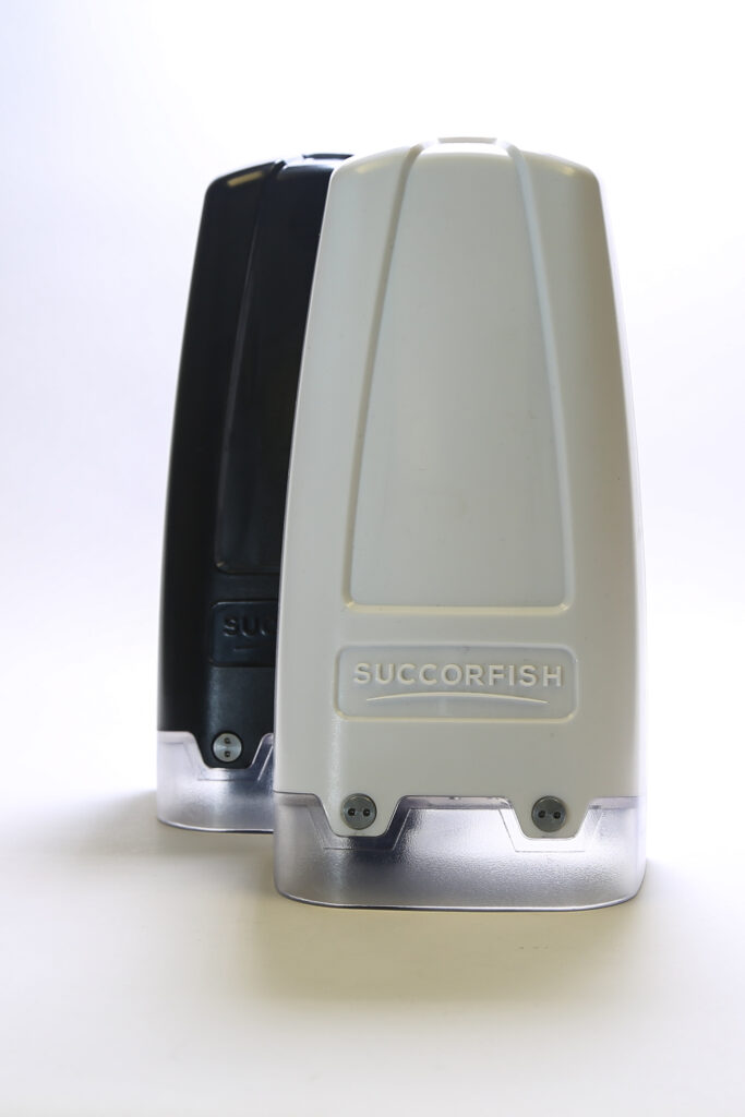
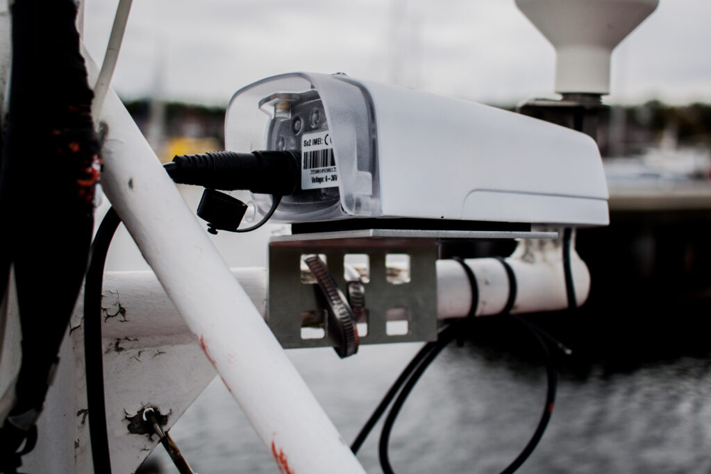
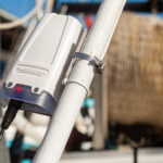
Succorfish deployed the SC2 Gen 3 vessel monitoring device across the fleet. The SC2 unit combines LTE Cat 1 BIS cellular and Iridium satellite communications, automatically and instantaneously switching between the two to maintain connectivity. The highly dependable connectivity enables continuous vessel tracking even in remote offshore seas and harsh conditions. It is next-generation asset connectivity with military-grade security.
Information from the SC2 Gen 3 is securely delivered to the Succorfish cloud platform, giving fishing fleet customers access to real-time and historical operational data.
Key capabilities include:
Dual-network connectivity (LTE Cat 1 BIS cellular + iridium satellite)
Automated vessel tracking
Continuous position reporting
Fleet-wide visibility
Compliance support
Highly secure with encryption, anti-jamming and tamper alerts
The Solution: Operational Systems
This client supports vessel operations across Harstad, Ramberg, Kristiansund, Raudeberg, and the wider Bergen region, with some activity extending into Danish waters including Hirtshals and Frederikshavn.
The fleet operates primarily along Norway’s west coast, extending into the North Sea, Norwegian Sea, and Barents Sea. Voyage durations range from short coastal trips of a few hours to multi-day offshore operations, with larger vessels undertaking voyages lasting several weeks.
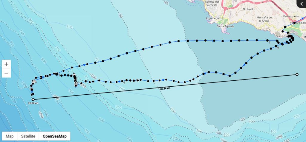
The deployment turned a support requirement into a stronger product offering. With automatic switching between LTE Cat 1 BIS cellular and Iridium built into every SC2 unit, tracking data keeps flowing whether a vessel is working close to shore or deep into the Barents Sea.
For the vessel owners and crews on the water, the benefit is confidence. Skippers no longer have to guess whether their position reports are getting through once they move beyond cellular range, the SC2 handles that automatically, so crews can focus on fishing rather than connectivity. Fleet managers get one consistent view of every vessel, making it easier to plan operations, react quickly when conditions change, and demonstrate compliance without extra admin.
Across the fleet, the SC2 has delivered consistent performance in some of the toughest conditions in fishing. The combination of dependable connectivity, straightforward compliance, and low operational overhead is what has made the deployment a genuine value-add to customer relationships, rather than just a monitoring requirement it has to meet.
Wider Impact
The deployment demonstrates how modern vessel monitoring solutions support sustainable fisheries management through improved transparency, accountability, and operational visibility.
It also highlights the SC2’s capability to operate reliably in some of the world’s most challenging maritime environments. Across the North Sea, Norwegian Sea, and Barents Sea, vessels face extreme weather, remote operations, and limited infrastructure, conditions where continuous connectivity is critical.
This project shows that the SC2 delivers dependable performance in environments where reliability cannot be compromised, making it suitable for demanding maritime operations worldwide.
Who Else Would Benefit?
This solution is relevant to organisations operating in remote or connectivity-limited marine environments, including:
Commercial fishing fleets in Arctic, sub-Arctic, or deep-sea waters
Offshore support, survey, and service vessels
Patrol, enforcement, and regulatory fleets
Coastal fleets expanding into offshore operations
Maritime operators in areas with unreliable cellular coverage
The application of the SC2 Gen 3 in some of the harshes sea conditions for Nordic fleet customers demonstrates that it is suitable not only for fisheries compliance, but for any mission-critical maritime operation requiring continuous tracking, reliability, and uptime.
Succorfish engineers industry leading subsea communication and monitoring technology, and the software to deploy a full solution that connects all your assets underwater with everything above.
Get a PDF download of this case study
Download our Apps on the Google Play and App Store